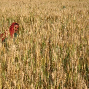
This paper presents a study of wheat farmers in India. Low-cost data from small satellites helped to map the results of spreading fertiliser either by hand or with a new spreader device that allowed more even application of fertiliser.
Using the spreader device resulted in 4.5% higher yields than spreading fertiliser by hand, as measured directly by cutting the crop. Greater yield increases were found in the fields that had the lowest yields to start with.
The authors found that field yield could be estimated accurately from satellite data. They simulated the yield gains of either introducing the spreader device randomly across fields, or of targeting the spreader to the lowest yielding fields as identified by the satellite data. They found that yield gains would be twice as high when targeted to the lowest yielding fields (identified by satellite), compared to random use.
Abstract
Feeding a growing population while reducing negative environmental impacts is one of the greatest challenges of the coming decades. We show that microsatellite data can be used to detect the impact of sustainable intensification interventions at large scales and to target the fields that would benefit the most, thereby doubling yield gains. Our work reveals that satellite data provide a scalable approach to sustainably increase food production.
Reference
Jain, M., Rao, P., Srivastava, A.K., Poonia, S., Blesh, J., Azzari, G., McDonald, A.J. and Lobell, D.B., 2019. The impact of agricultural interventions can be doubled by using satellite data. Nature Sustainability, 2(10), pp.931-934.
Read the full paper here. See also the Foodsource building block What is sustainable intensification?


Post a new comment »